Real Estate
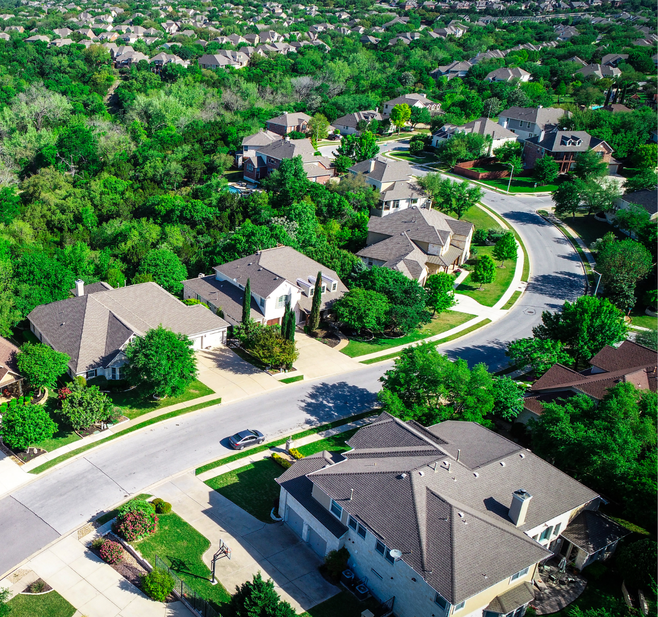
Give potential buyers a bird’s eye view of your entire property using our high-quality drone photographs and videos. Real estate professionals understand the power of offering an impressive visual experience. Increasingly, they’re turning to drone photography, and homeowners can do it too! Aerial real estate photography is one of the most innovative and effective ways to attract buyers.


Building, Roof,
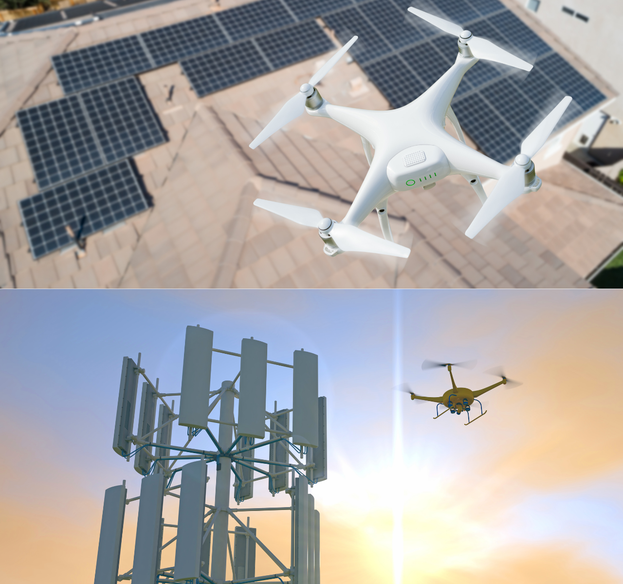
Solar Panel, Wind & Cell Tower Inspection
We provide high-resolution photography and video of power and cellular transmission infrastructure for inspection purposes. This allows companies to make a quick assessment as to the existence and extent of damage to Wind Turbines, Cell Towers, and Solar Panels.
Drone inspections can be done more quickly and safely than having personnel climb towers. We can also provide live streaming of aerial inspections for real-time assessment of conditions.
Drone inspections can be done more quickly and safely than having personnel climb towers. We can also provide live streaming of aerial inspections for real-time assessment of conditions.
Private Parties,
Ceremonies, Weddings
Aerial shots bring the garden or pool views into the image


Travel Vlogs,
Commercials & Videos
Unique bird’s eye view can be a big plus for videos
Outside Venues,
Concerts, Festivals
We can deliver objects onto a stage - various requests.

VIDEO PRODACTIONSOur Great Clients
FILM & TV
If you work in film or TV and are looking for aerial professionals who are highly experienced, then we can help you in making films.
AERIAL SURVEYS
The ability to view the earth from the air is a prerequisite for many types of surveying applications. We offer two distinct platforms.
SPORTS
Aerial filming with unmanned aerial vehicles (UAVs) or drones as they are most often known, is the future of aerial sports.
PHOTOGRAPHY
Bring to the table win-win survival strategies to ensure proactive domination. At the end of the day, going forward.
EVENTS
These devices can hover and maneuver above your event capturing images and video of not just individuals.
INDUSTRY
Our drone industry services provide you with a skilled UAV pilot that will provide drone surveys photography and short videos.
COMMERCIALS
Maybe your event includes water activities that you want recorded, rather than unsteady photos or video being taken from a boat.
TRAVEL & TOURISM
Capitalize on low hanging fruit to identify a ballpark value added activity to beta test. Override the digital divide with additional.
ROOFING
Since the dawn of time, roofers have been climbing up houses to build and repair roofs. From pre-historic thatched roofs to modern slate roofs – and everything in between – roofing has always been serious business. Today, roofing is getting a much-needed high-tech facelift when it comes to the practical application of surveying damaged roofs.
INSPECTION
Using advanced PPK drone technology, we produce detailed, interactive maps of vast tracts of land. In just two years, we have created over 400 aerial topos for dozens of clients. Extreme Aerial can provide you with detailed drone videography that maps out thousands of acres at a high resolution, ready to send in an instant to engineers, land surveyors, cell companies and more.
CONSTRUCTION
Civil works. Infrastructure projects. Landscape and hardscape. These types of projects can benefit enormously from professional drone photography. Extreme Aerial Productions is one of the few drone operators to offer this service. Capturing aerial footage of landscapes and construction zones requires a unique skill set that we have —and are mastering.
SOLAR PANEL WIND & CELL TOWER
We provide high resolution photography and video of power and cellular transmission infrastructure for inspection purposes to allow companies to make a quick assessment as to the existence and extent of damage to Wind Turbines, Cell Towers, and Solar Panels. Drone inspections can be done more quickly and safely than having personnel climb towers.


